In November and December 2018, ISEAA and Lao colleagues headed to the area of Thakhek, Laos to conduct a survey in an area that had never been recorded by archaeologists before. The team set to do two things: produce a digital map of the historic temple complex at Vat Sikhottabong on the Mekong river, and map the extent of an abandoned city surrounding the temple.
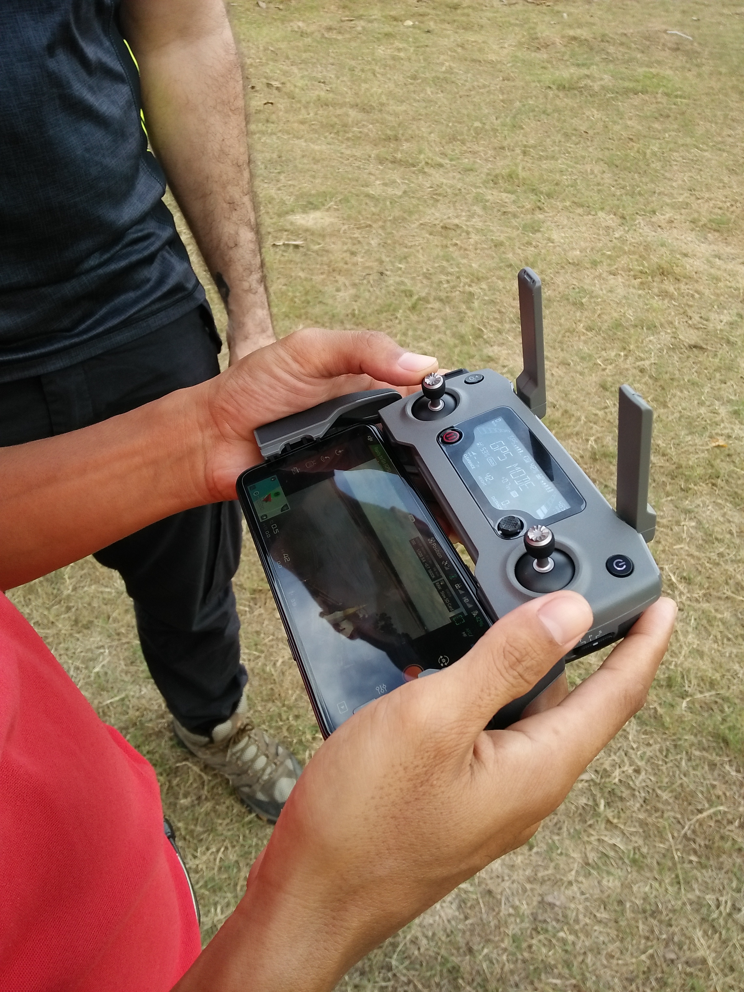
To reach these goals, the team used DJI Mavic 2 Pro drones to capture the area from a bird’s-eye view and Emlid Reach RS+ GNSS (Global Navigation Satellite System) to locate points in the temple complex and surrounding features, linked with GPS.
Take a look at our equipment here:
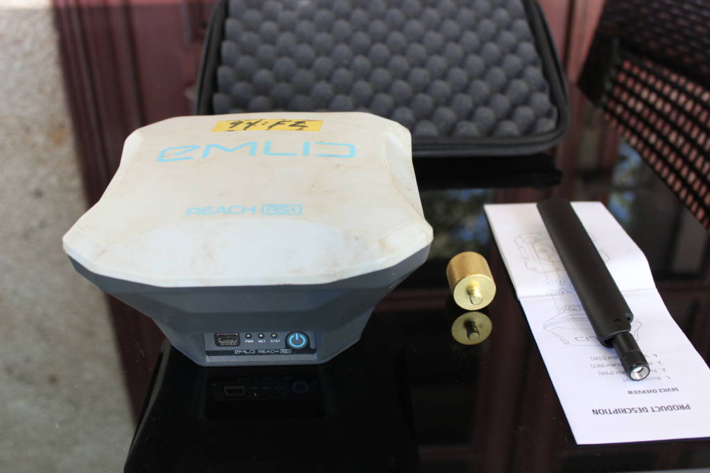
Emlid Reach RS+ GNSS and its antenna on the right
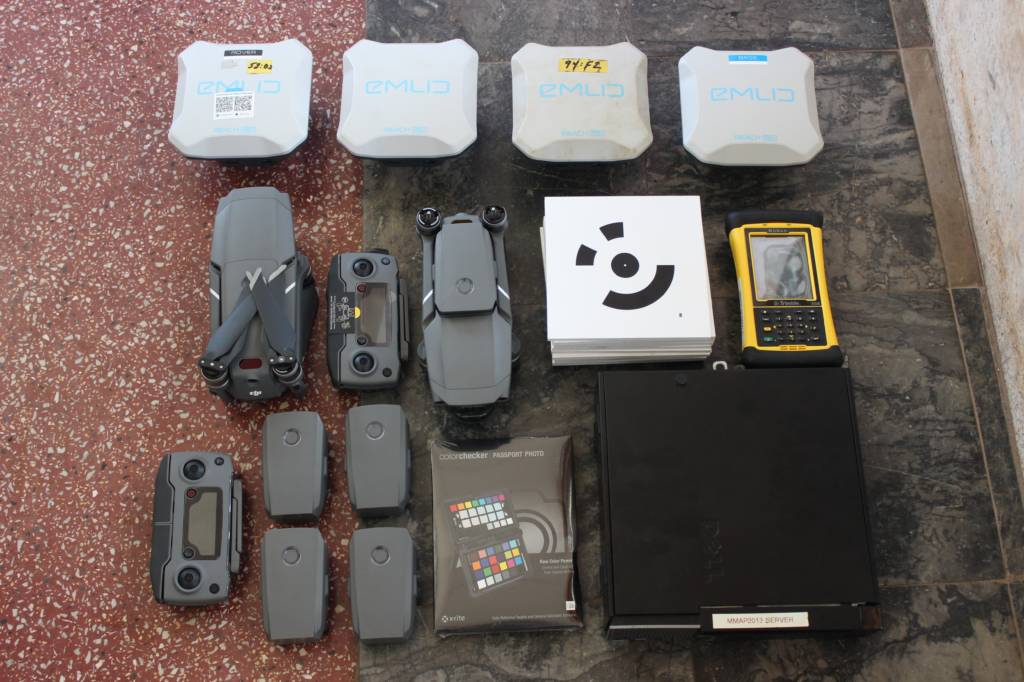
GNSS, drones, and targets
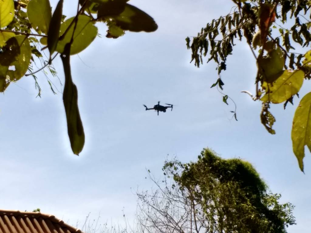
Drone in flight (photo by Elizabeth Hamilton)